Steps
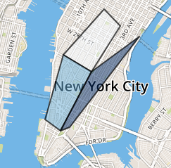
- Define geometries. You can start with an existing shapefile (see code) or you can define each geometry manually using this tool for NYC addresses or this tool for generic addresses.
- Set colors. You can render numerical values through a supported color scheme or you can specify each color in a column named FillColor.
- Save the file as a geotable CSV in
target_folder.